GALLITZIN STATE FOREST
The Gallitzin State Forest was named in honor of Dimetrius Augustine Gallitzin, Prince-Priest of the Alleghenies, who established a mission at Loretto in Cambria Country in 1795.
The Gallitzin State Forest consists of 2 separate areas of State Forest land located in Northern Bedford, Cambria, Indiana, and Northern Somerset counties. The total area of State Forest land is 15,336 acres.
The Babcock Division in Northern Somerset Country with 13,482 acres is the largest Division of the Gallitzin State Forest. The very scenic Babcock State Forest Picnic Area is located along Route 56, four miles east of Windber. The Clear Shade Wild Area, the John P. Saylor Trail and the Lost Turkey Trail are all located in this Division south of Route 56 and provide additional recreational opportunities.
All State Forest lands are open to hunting, fishing and general recreation.
The Charles F. Lewis Natural Area is located at the western end of the Rager Mountain Division near Cramer in Indiana County. This 384 acre unique scenic area has been preserved as a Natural Area. A two mile foot trail, the Clark Run Trail, winds through the scenic Clark Run Gorge with its numerous small waterfalls and interesting geologic features.
As part of the statewide wildfire protection system, two forest fire observation towers are strategically located throughout the district and command excellent views of the surrounding country. These fire towers communicate with the District Office Headquarters by two-way radio and telephones.


 Share Your Gallitzin State Forest Photos (click here)
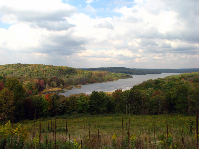