WEST ROCK RIDGE STATE PARK
West Rock Ridge rises from 400 feet of elevation at the South Summit in New Haven to 700 feet of elevation at High Rock in Bethany on the Hamden border. The 6-mile long ridge is traversed by the 7-mile long Blue-Blazed Regicides Trail, which connects to the Quinnipiac Trail at High Rock. There are impressive vistas along the ridge, with estimates that a person can see approximately 200 square miles from various locations.
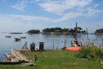
At the South Overlook, views include New Haven and the Harbor, Long Island Sound, East Rock Park, and the Sleeping Giant. Along the Regicides Trail, one can see forested water company lands to the west of the ridge, including Lake Dawson and Lake Watrous. Baldwin Drive, constructed in the 1930s as a Works Progress Administration WPA project, extends 5.6 miles along the ridge, and offers walkers and bicyclists a car-free experience.
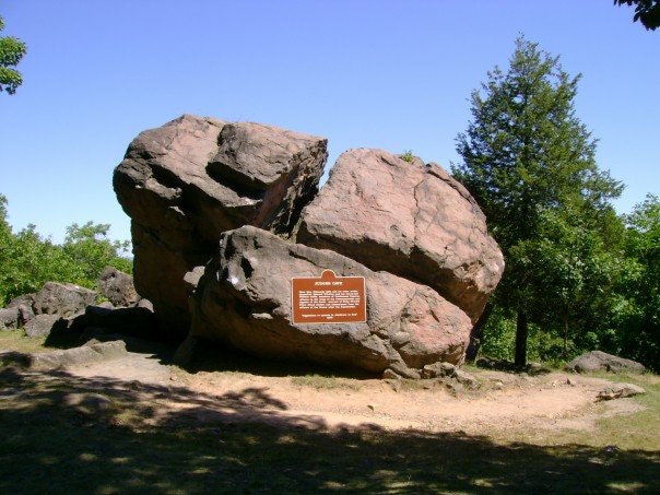
The 1.6 mile long Regicide Drive offers seasonal motor vehicle access to the South Overlook and Judges Cave. The Regicides Edward Whalley and William Goffe sought refuge at the cave in 1661 and 1664 from agents of King Charles II of England, who was seeking their capture and execution.
Connecticut has made state parks, forests, trails, historic sites and beaches more accessible to our residents so they can enjoy the many attractions and beauty they offer. Under the Passport to the Parks program, parking fees are now eliminated at Connecticut State Parks for those with Connecticut registered vehicles. You can view the
CONNECTICUT PASSPORT TO THE PARKS web page to learn more.


 Share Your West Rock Ridge State Park Photos (click here)
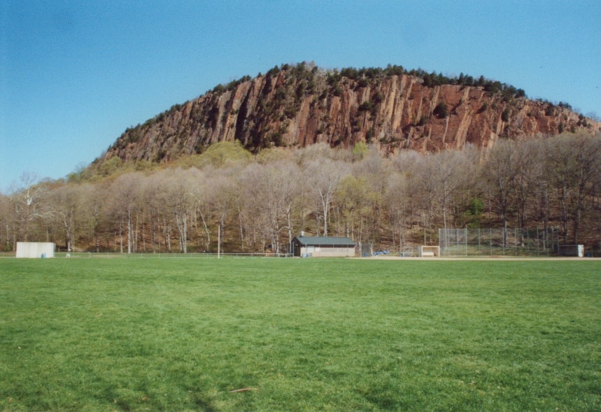