WEOGUFKA STATE FOREST
WEOGUFKA STATE FORESTSylacauga, Alabama 35151
(lat:32.9836 lon:-86.3504)

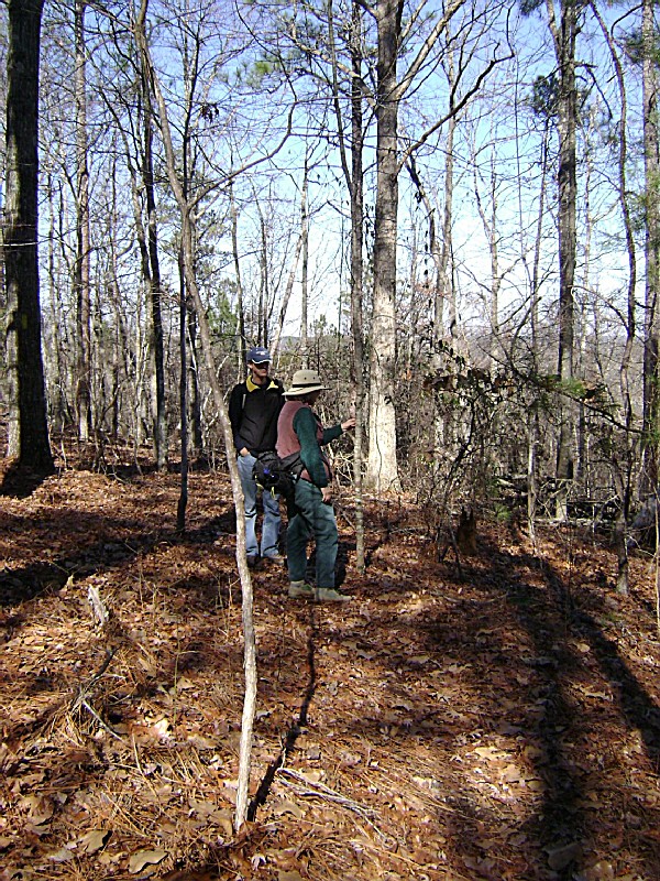
The Weogufka State Forest, located in Alabama, is a picturesque natural haven that offers visitors a serene escape from the hustle and bustle of everyday life. Spanning over 11,000 acres, this forest boasts an abundance of diverse flora and fauna, including towering pines, hardwoods, and vibrant wildflowers. With its well-maintained trails, it provides ample opportunities for hiking, birdwatching, and wildlife spotting. The tranquil atmosphere and scenic beauty make Weogufka State Forest an ideal destination for nature enthusiasts.


 Share Your Weogufka State Forest Photos (click here)
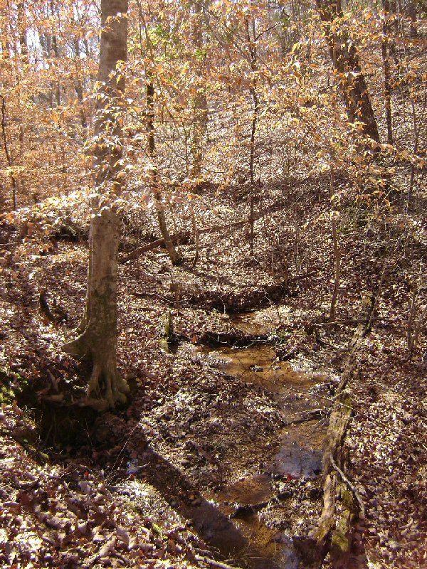