SUGAR PINE POINT STATE PARK
In 1969, Emerald Bay was designated a National Natural Landmark for its brilliant panorama of mountain-building processes and glacier carved granite.
The natural beauty, geology and history of this unique island make it one of the highlights of any visit to the Lake Tahoe area.
The park features Vikingsholm, one of the finest examples of Scandinavian architecture in the western hemisphere. The "Tea House" on Fannette Island, the only island to be found in all of Lake Tahoe.
Emerald Bay was designated an underwater state park in 1994. It is the resting place for many boats, launches and barges used in the lake before the turn of the century, during the heyday of Emerald Bay Resort and used in the construction of Vikingsholm.
Seasons/Climate/Recommended clothing
Summer temperatures range from about 75 degrees during the day to the low 40s at night, and winter temperatures average from a high of 40 to a low of 20 degrees; during extremely cold winters Emerald Bay freezes over.
Food Storage Locker Information
Metal bear-resistant food lockers are provided in each campsite. All food, beverages, and tolietries are required by law to be stored in provided food lockers. The inside dimensions of the food lockedrs 36" deep, 43" wide, and 22" high. Violators will be cited.
The beautiful grounds of the Hellman-Ehrman Mansion are available for special events such as weddings, school or family reunions, and corporate dinners. The grounds have spectacular views of Lake Tahoe with the 12,000 square foot mansion serving as an elegant backdrop.
Sugar Pine Point State Park is located near Gardnerville, South Lake Tahoe
General Creek Trail
4.5 mile loop with 300-foot elevation gain; to Lily Pond is 6.5 miles round tripwith 500-foot gain; to Duck Lake is 14 miles round trip and to Lost Lake is 14.5 miles with 1,300-foot gain Sugar Pine Point names a forested promontory perched above the western shore of Lake Tahoe, as well as a state park that offers ten terrific miles of trail.
Sugar pines are, alas, a bit scarce these days. In the 1870s, there was lots of logging in this part of the Tahoe Basin in order to supply Comstock Lode miners with lumber and firewood.
One of Lake Tahoe?s first permanent residents was ?General? William Phipps, who homesteaded the land we now call Sugar Pine Point in 1860. Phipps protected his 160 acres from being logged.
Turn-of-the-century banker Isaias Hellman built ?the finest High Sierra summer house in California? a rustic, yet elegant three-story mansion overlooking the lake. Now known as the Ehrman Mansion (for a later owner) the house is open for guided tours during the summer months. Exhibits about the natural history of the Tahoe Basin can be viewed in the nature center, located in the Ehrman Mansion?s former power-generating plant.
While the state park has about two miles of lakefront, most of the park? and the best hiking?is inland along General Creek. Trails lead along the creek through a forested valley to the state park boundary, then into the El Dorado National Forest. The park is often used by long-distance hikers to gain access to the northerly part of the Desolation Wilderness, as well as to intersect the Pacific Crest Trail and other paths leading into the High Sierra backcountry west of Lake Tahoe.
Trees are one attraction of a hike through the state park. Besides the sugar pine, look for Jeffrey pine and stately white fir. In autumn, the black cottonwood and quaking aspen are something to behold.
Directions to trailhead: From Tahoe City, drive nine miles south on Highway 89 to Sugar Pine Point State Park. The state park is located some eighteen miles north of the community of South Lake Tahoe. Once inside the park, rangers recommend that hikers park in the campground overflow lot near the entrance to General Creek Campground. The trail, a dirt road closed to vehicles, begins at Campsite 150.
The hike: The wide path leads west along the north bank of General Creek. At a signed junction you?ll spot a trail leading down to a bridge crossing the creek. This bridge and another two miles farther along General Creek Trail, allow a pleasant loop trip without getting your feet wet.
The trail meanders through well-spaced stands of Jeffrey and lodgepole pine and across meadowland seasonally sprinkled with lupine and aster. Those granite boulders you see looking so out of place in the sylvan scene were left behind ages ago by a retreating glacier. Hikers with an interest in geology will enjoy glimpses of the two large lateral moraines that border the valley of General Creek.
A bit more than two miles along, when you reach a second footbridge, you can loop back to the trailhead via a path on the opposite side of General Creek.
Soon after passing this bridge, General Creek Trail dwindles to a footpath and another half mile?s travel brings you to a signed junction with a side trail leading to Lily Pond; it?s a 0.75 mile, heart-pounding ascent to the little pond.
General Creek Trail continues meandering above the creek. About 3.5 miles from the trailhead, you?ll exit the state park and enter El Dorado National Forest. After more meandering, the trail crosses General Creek (no bridge this time), turns south, then east, and after a mile crosses the creek fed by Lost Lake and Duck Lake.
Now the trail turns south again and climbs to shallow Duck Lake, ringed by lodgepole pine. Lost Lake, another quarter mile along the trail, is a bit more dramatic than neighboring Duck, and offers good swimming.
The park is located 22 miles south of Tahoe City.
Vikingsholm can be reached by parking in the Harvey West parking lot by Highway 89 at Emerald Bay. Take the trail, which is one mile in length and drops 500 feet in elevation to the house.
Fannette Island is located in the bay on the west shore of Lake Tahoe.
The Boat Camp is on the north side of Emerald Bay, about 1/2 mile east of Fannette Island located in the bay on the west shore of Lake Tahoe, at the site of the old Emerald Bay Resort.


 Share Your Sugar Pine Point State Park Photos (click here)
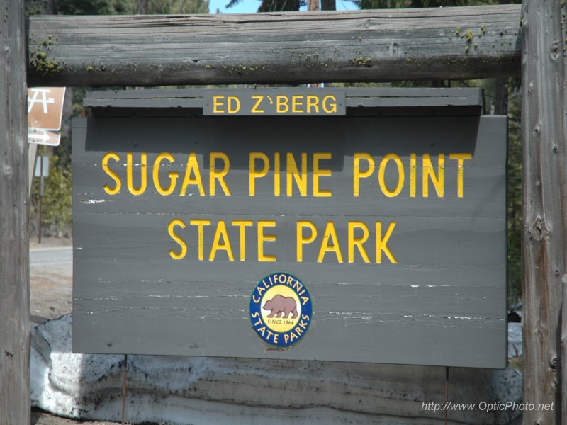