POWHATAN HISTORIC STATE PARK
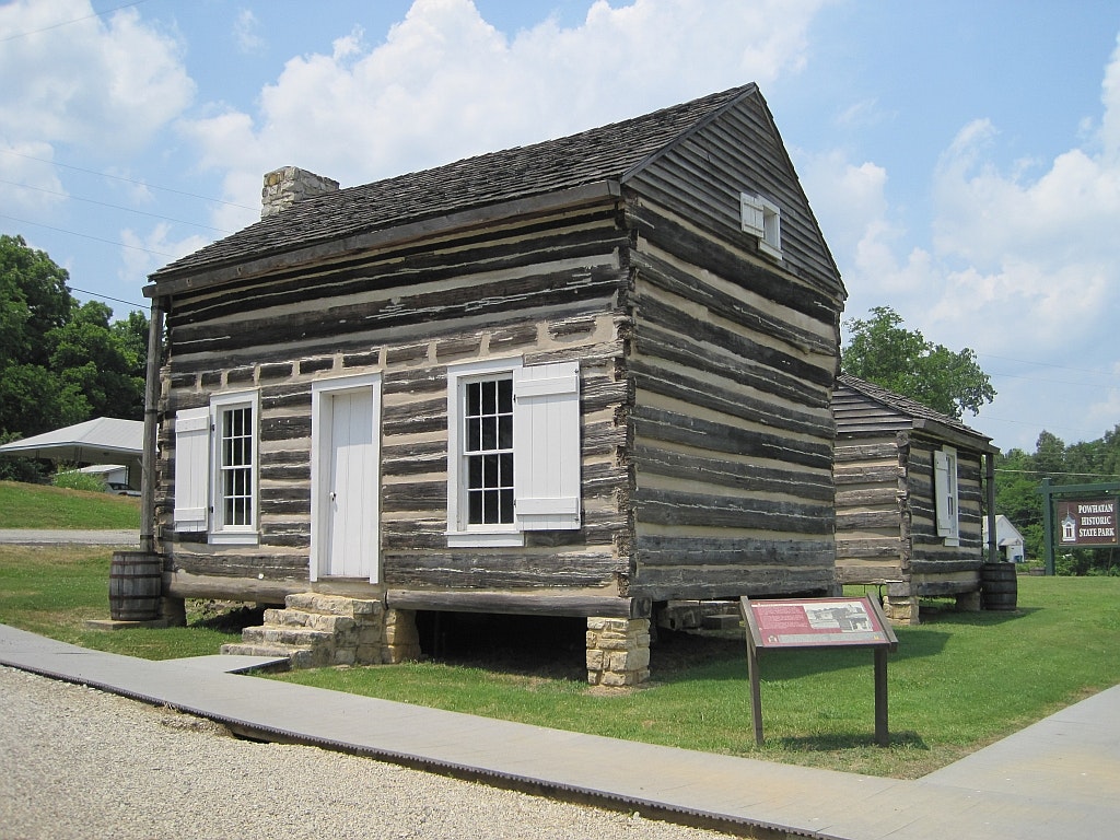
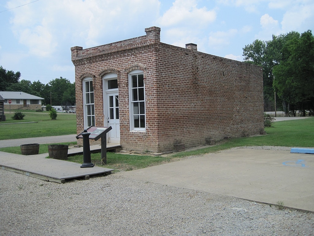
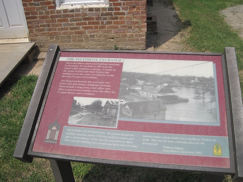
Powhatan Historic State Park operates from 8 a.m. until 5 p.m., Tuesday through Saturday, and from 1 p.m. until 5 p.m. on Sunday. The park provides guided tours of the courthouse, jail, telephone exchange building, Ficklin-Imboden Log House, and the Powhatan Male Female Academy. The Ficklin-Imboden House, 1888 Courthouse and Male Female Academy are ADA accessable.
Powhatan, pronounced Pow-uh-TAN, drew its name from the Indian chief Powhatan, the father of Pocahontas, whose three empires in the early 17th century covered most of eastern Virginia.
Long before the city of Powhatan was incorporated in 1853, the Osage Indians occupied the area. ln 1817, the Federal Government moved them to reservations outside the state.
The first steamboat to arrive at Powhatan - The Laurel - was in 1829. Cargo and passengers arrived and embarked from sternwheelers and keel boats, and crossed the rivers on ferries. Ficklin Ferry, on the Black River, was once described as the most accessible point at all seasons of the year from Jacksonport to Pocahontas.
In 1837, John Ficklin established a ferry on the Black River and built a house on the hill northwest of the ferry. Historians give Ficklin credit as the towns founder.
This ferry, later called the Powhatan Ferry, increased in importance into the 1880s, and helped make Powhatan the chief shipping point for a large territory. Steamboat passengers boarded at Powhatan to travel down the Black and White Rivers, then up or down the Mississippi to their final destinations. Steamboats carried passenger and cargo of timber, cotton, game and anything that needed moving from one place to another. Powhatan began its decline when the Frisco Railroad bypassed the town, roads improved, and rail travel began to overtake river passage as the preferred method of transportation.
Key factors leading to Powhatans transformation from thriving prosperity to quiet existence include changes in transportation, the impact of two world wars, and the Great Depression. The last ferry shut down in the 1950s, the suspension bridge closed in 1951, the school consolidated in 1956, and the county seat moved in 1966.


 Share Your Powhatan Historic State Park Photos (click here)
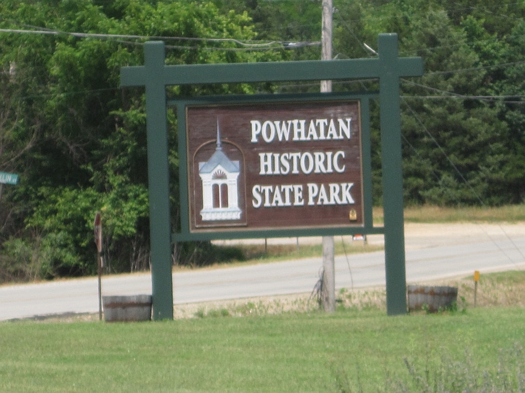