POINSETT STATE FOREST
Poinsett State Forest is a picturesque natural oasis that encompasses 5,000 acres of captivating beauty within the Sandhills region. This forest is a haven for outdoor enthusiasts, offering an array of recreational activities such as hiking, biking, camping, and fishing. Its diverse ecosystem boasts towering pines, picturesque lakes, charming streams, and serene wetlands. Visitors can explore the intricate network of well-maintained trails, soak in breathtaking vistas, and witness captivating wildlife, making Poinsett State Forest an ideal destination for nature lovers seeking solace and adventure in the heart of South Carolina.


 Share Your Poinsett State Forest Photos (click here)
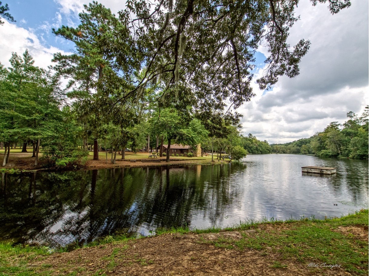