MEAHER STATE PARK
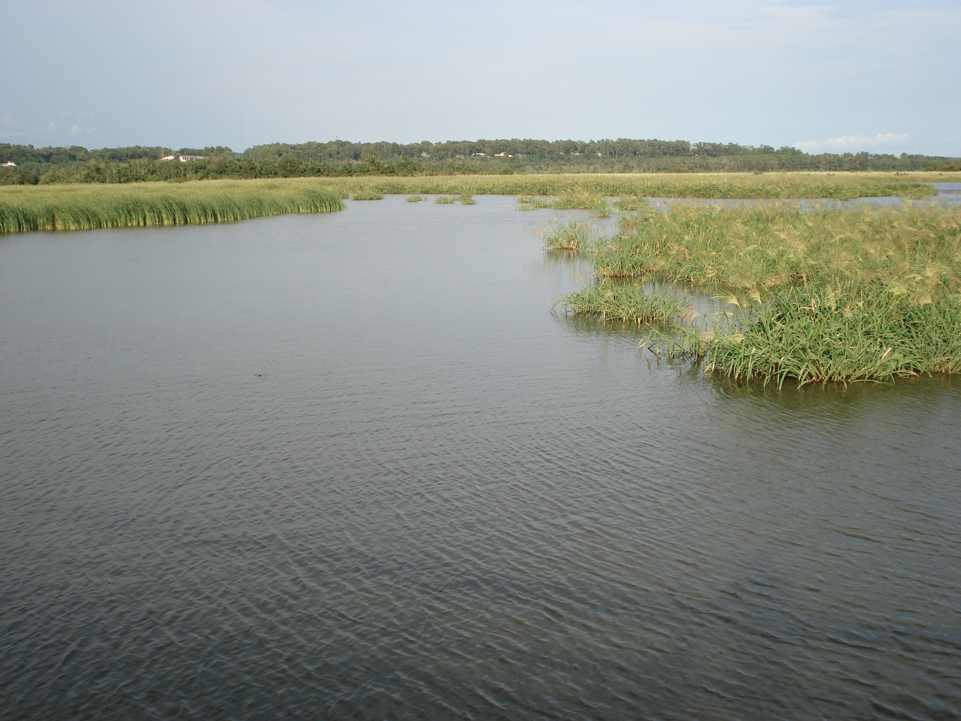
This 1,327-acre park is situated in the wetlands of north Mobile Bay, and is a day-use, picnicking and scenic park with modern camping hook-ups for overnight visitors. Meahers boat ramp and fishing pier will appeal to every fisherman and aself-guided walk on our boardwalk will give you an up-close view of the beautiful Mobile-Tensaw Delta.
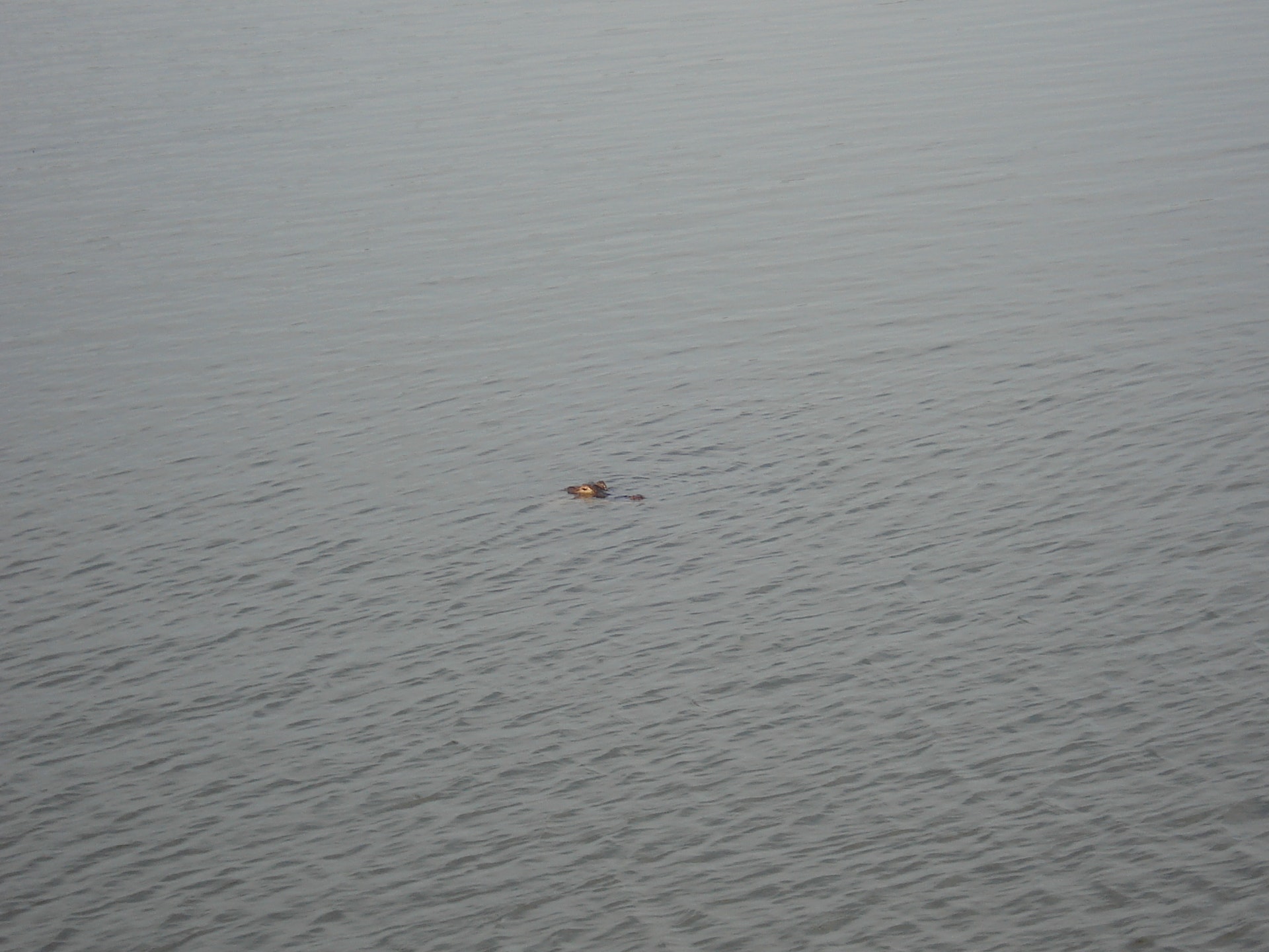
The Mobile-Tensaw Delta consists of approximately 20,323 acres of water, is the second largest delta in the contiguous US and Meaher State Park is the perfect access point to this massive natural wonder. Formed by the confluence of the Alabama and Tombigbee Rivers, the Mobile-Tensaw Delta is a complex network of tidally influenced rivers, creeks, bays, lakes, wetlands, and bayous. Since the Delta empties into Mobile Bay, it is a productive estuary with numerous species of fresh and saltwater fish, which makes Meaher State Park an anglers dream. You might also see an alligator or two.
Meahers campground has 61 RVcampsites with 20-, 30- and 50-amp electrical connections, as well as water and sewer hook-ups. There are 10improved tent sites with water and 20-amp electrical connections. We also have 4cozy bay-side cabins 1 is handicap accessible overlooking Ducker Bay. The campgroundfeatures a modern bathhouse with laundry facilities.


 Share Your Meaher State Park Photos (click here)
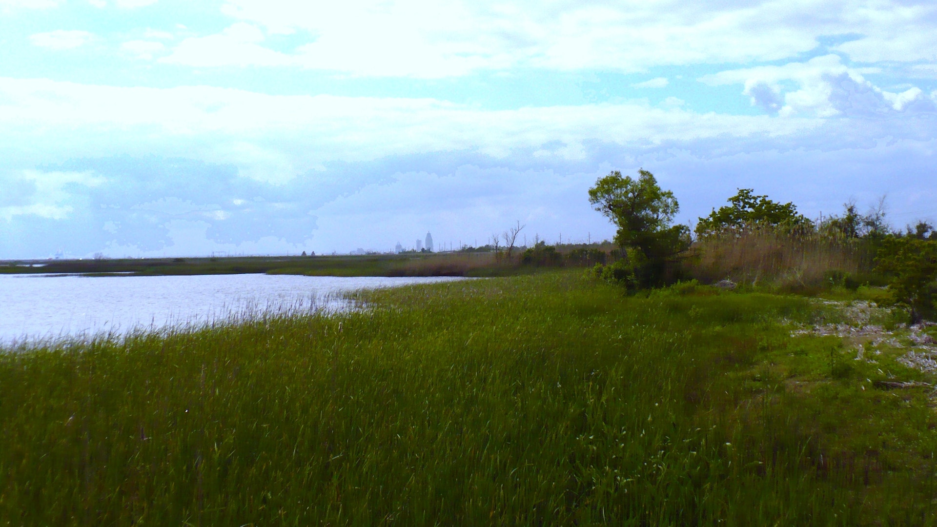