MANCOS STATE PARK
Mancos State Park in Southwestern Colorado is a haven for the year-round outdoor enthusiast and traveler.
In the spring, summer and fall, canoeists, kayakers and wakeless power boaters enjoy the calm waters of Jackson Gulch Reservoir. In the winter depending on conditions there are great opportunities for cross-country skiing, snowshoeing, and ice fishing. Fishing enthusiasts enjoy excellent fishing for yellow perch and rainbow trout.
All Colorado State Parks have entrance fees. All vehicles are required to have an entrance pass and some parks have walk-in fees. Visit the
Colorado Park Entrance Pass web page.
The park has two campgrounds Main and West on two sides of the reservoir with a total of 32 campsites. Along the northwest side of the reservoir, the west campground has nine campsites primarily for tent campers with toilets but no drinking water nearby.


 Share Your Mancos State Park Photos (click here)
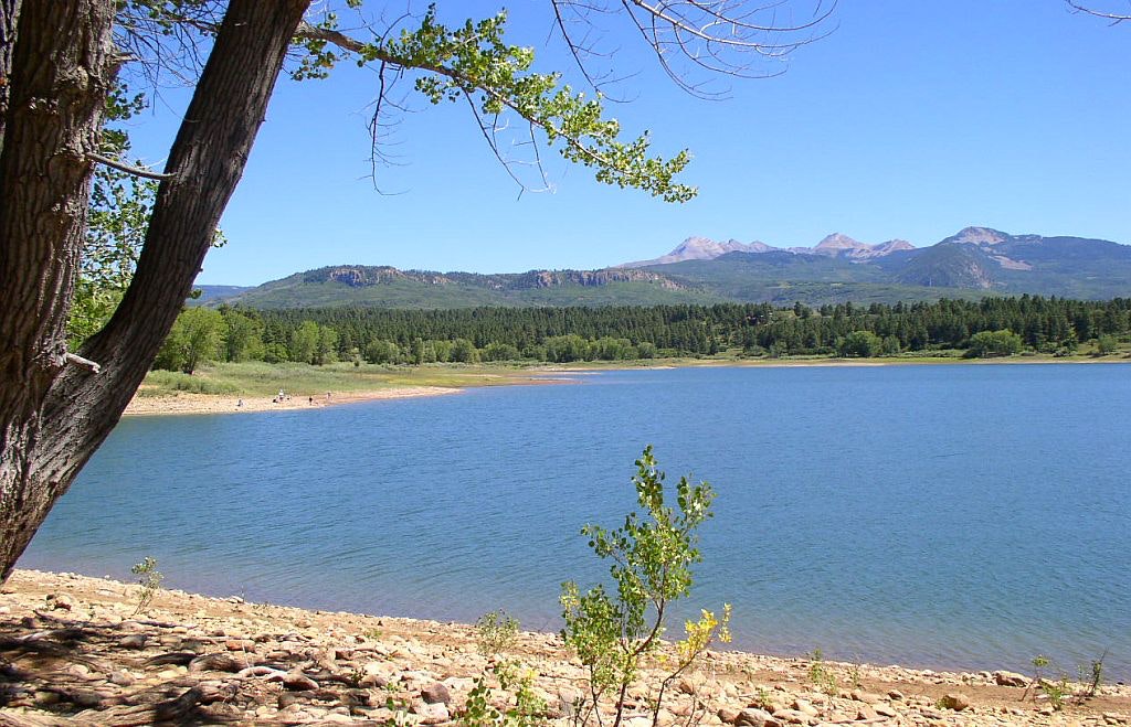