FISHERS PEAK STATE PARK
Colorado Parks and Wildlife, along with our partners from the City of Trinidad, The Nature Conservancy, the Trust for Public Land, Las Animas County and Great Outdoors Colorado continue to plan the future of the Fishers Peak property.
The Fishers Peak property was purchased in February 2019 through a collaboration between the City of Trinidad, The Nature Conservancy, the Trust for Public Land, Great Outdoors Colorado GOCO and Colorado Parks and Wildlife CPW. In April 2020, CPW acquired the property and, working with our partners, are developing Colorados newest state park.
The 19,200-acre property connects grasslands to the east with foothills and mountains to the west, serving as an important corridor for wildlife movement. Providing habitat for large native species like elk, mule deer, white-tailed deer, mountain lion and black bear, the property helps maintain important connections between these species populations in the mountains and those in the prairies.
The objective of the collaboration is to conserve, evaluate and plan the sustainable use of the property for the enjoyment of the public while perpetuating the natural resources on the property. All of the partners are excited about the opportunities available for exploration and education on the Fishers Peak property as the park takes shape.
All Colorado State Parks have entrance fees. All vehicles are required to have an entrance pass and some parks have walk-in fees. Visit the
Colorado Park Entrance Pass web page.
Fishers Peak State Park is located near Trinidad
Fishers Peak State Park offers scenic picnic areas with tables. Enjoy meals surrounded by nature and stunning mountain views.
Colorado Parks and Wildlife offers a number of hunting opportunities at Fishers Peak State Park through a random draw. Winners of the drawings will be issued a Special Activity Permit authorizing access to Fishers Peak State Park only during the season dates found on their license. Only one entry will be allowed per person, per season. All applicants must have successfully completed a hunter's education course at the time of the draw.
Discovery Trail
The short and easy trail is the perfect place for a quiet picnic not far from the parking lot. An easy loop around a small meadow is lined with interpretive signs that encourage visitors to learn about the habitat around them through the five senses.
Fishers Peak Trail-Challenge Hill Section
1.4 miles - Hiking only. Following an abandoned ranch road, this steep, difficult trail quickly climbs the ridgeline to meet the mid-mountain trail hub top of the Challenge Hill Section and surrounding views.
Fishers Peak Trail-Osita Ridge Section
2.3 miles - Open to hikers and mountain bikes in both directions. From the mid-mountain trail hub this trail continues up the ridge, snaking through oak communities, dramatic rock outcrops, and towering ponderosa pines to reach the upper saddle below Osita Point, with views of Fishers Peak towering overhead.
Osita Point Trail
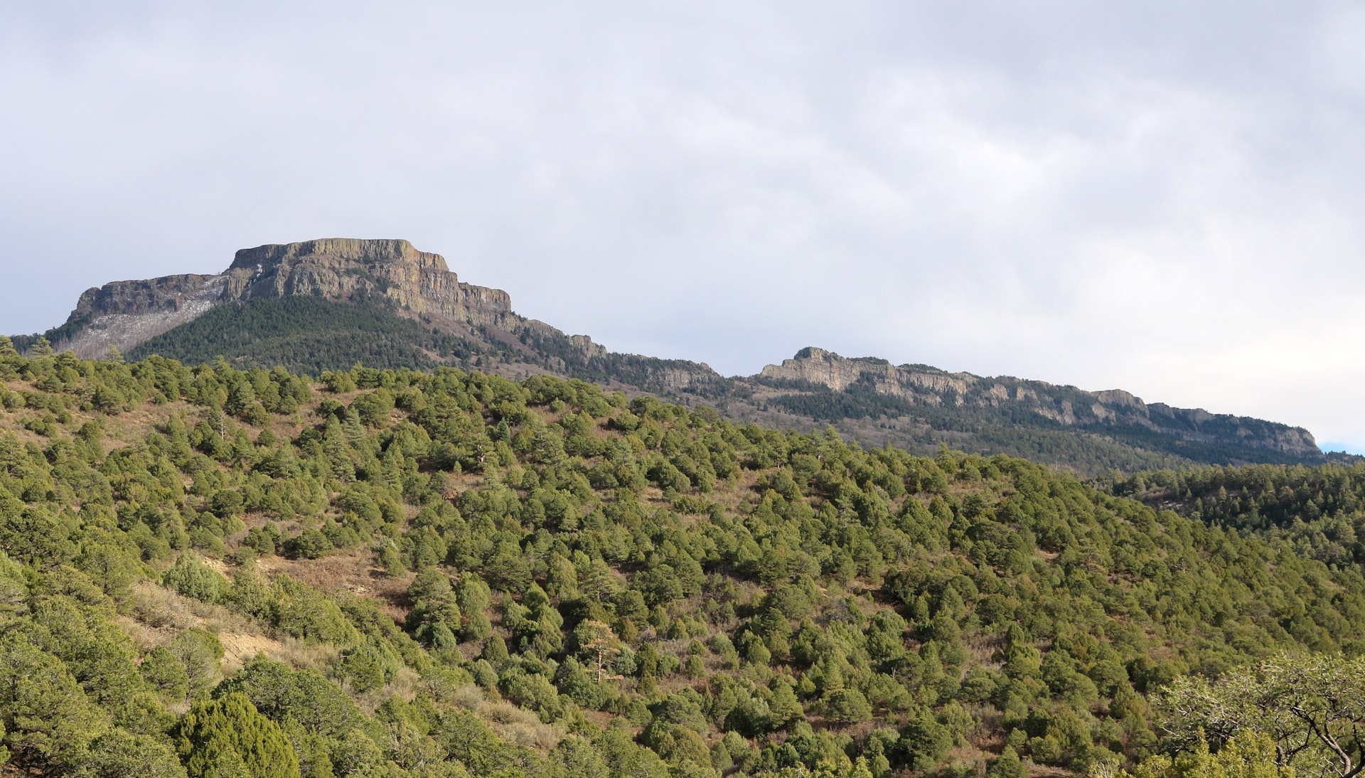
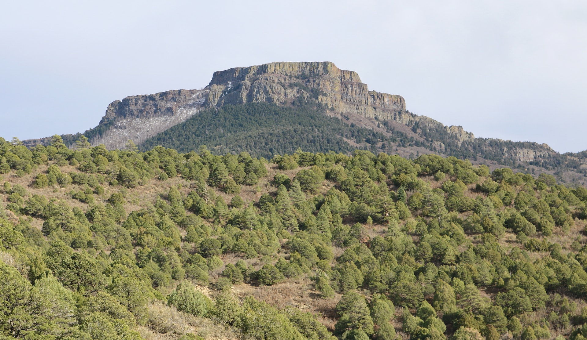
0.3 miles - Hiking only. A short, rocky trail reaches Osita Point 8,125, which provides commanding, panoramic views of the entire park, the open plains to the east, and the Spanish Peaks and Sangre de Cristo range to the west.
Poison Canyon Mountain Bike Downhill Trail
1.7 miles - Bikes only, downhill-only. For mountain bikers, this trail provides an exciting and playful descent that flows through pinon juniper forests and rocky canyons back down to the trailhead. Built with early-intermediate riders in mind, this trail provides opportunities for fun and challenge as they hone their skills on advanced optional features. Bikers will access this trail from Lower Lone Cub Trail.
Lower Lone Cub Trail
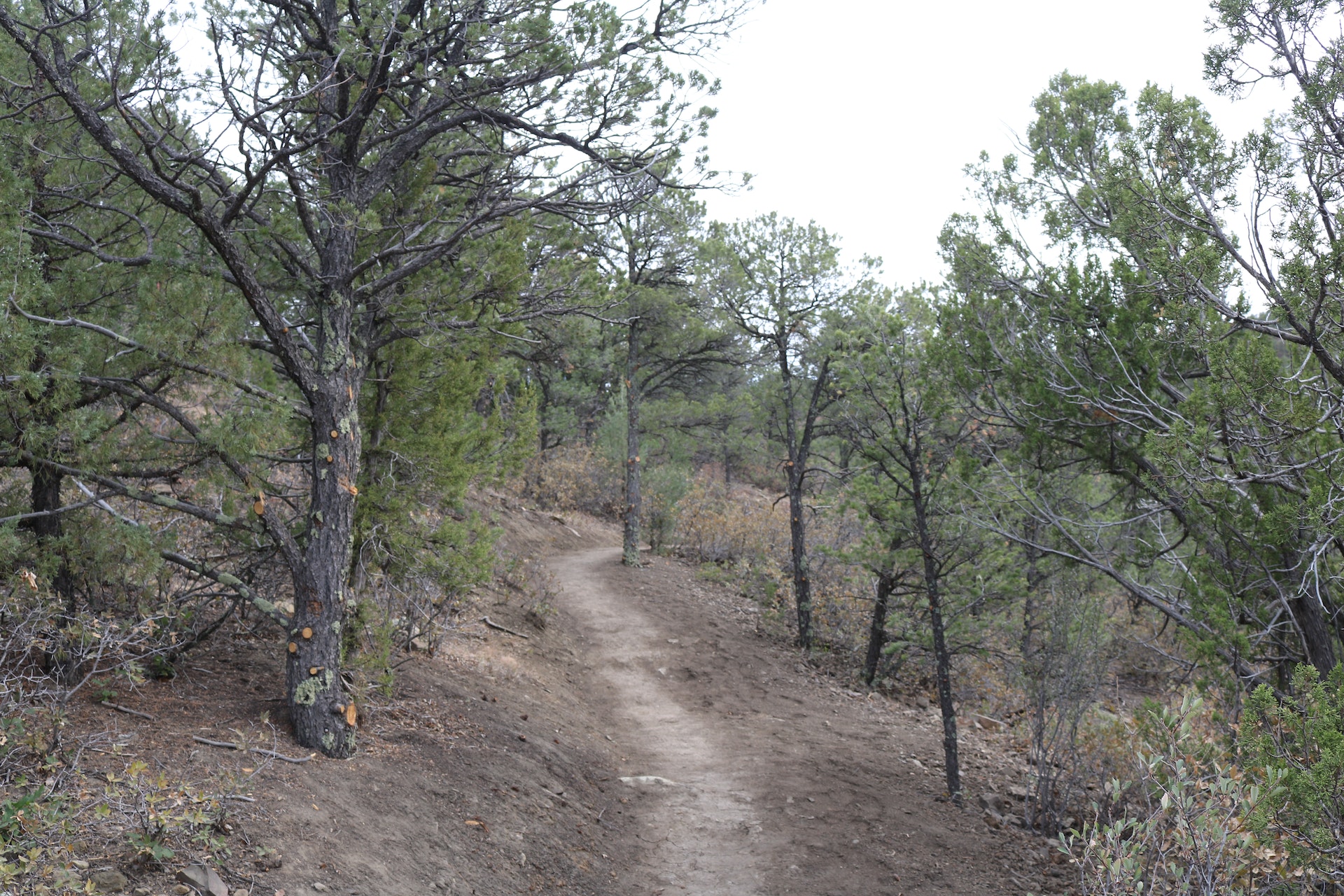
1.7 miles - Open to hikers and mountain bikes in both directions. Serving as the gateway into the trail system, this trail gently meanders through a series of canyons and forested slopes to reach the crest of the first ridge south of the trailhead.
Upper Lone Cub Trail
1.2 miles - Open to hikers and mountain bikes in both directions. Following the south ridge, this rugged and twisty trail explores the rocky, south-facing cliffs, passing through a dramatic notch to reach the mid-mountain trail hub.
Goldenrod Trail
4.7 miles - Hiking only. This trail explores the long ridgeline south of the trailhead, through a series of tight twists and turns to reach the expansive views of Trinidad and the eastern plains. This long route circles the crest of the valley, connecting back to the mid-mountain trail hub.


 Share Your Fishers Peak State Park Photos (click here)
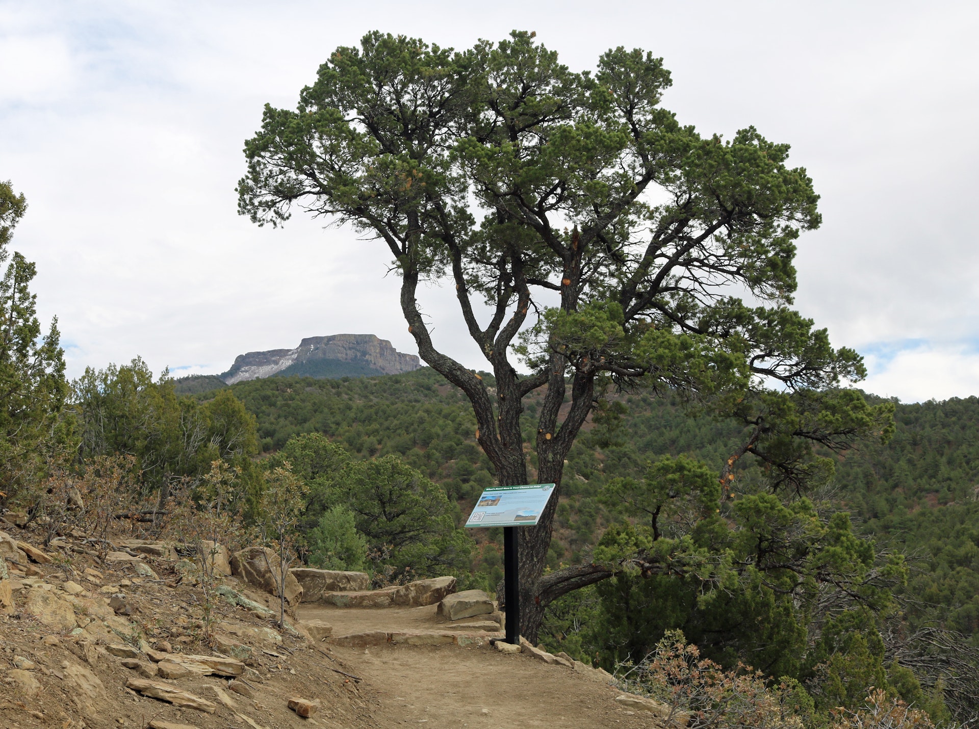