DENALI STATE PARK
Denali State Park is an integral part of one of North America?s most spectacularly beautiful regions. The park?s 325,240 acres, almost one-half the size of Rhode Island, provide the visitor with a great variety of recreational opportunities, ranging from roadside camping to wilderness exploration.
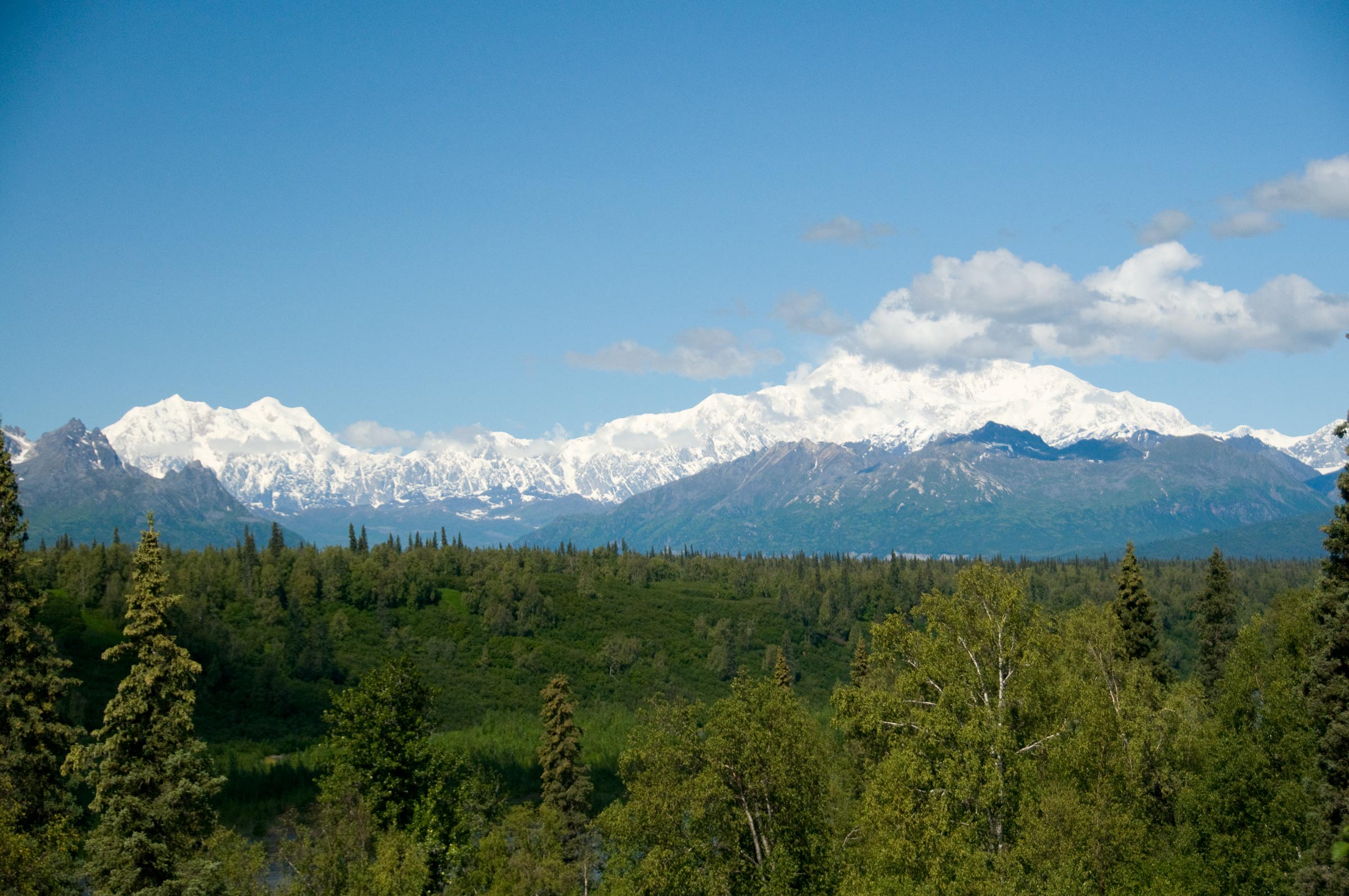
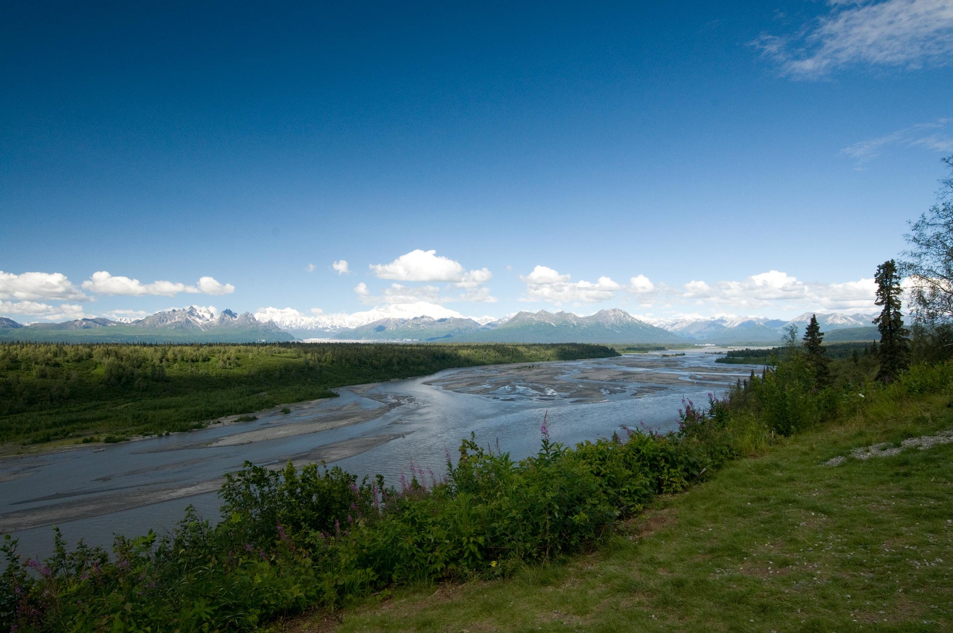
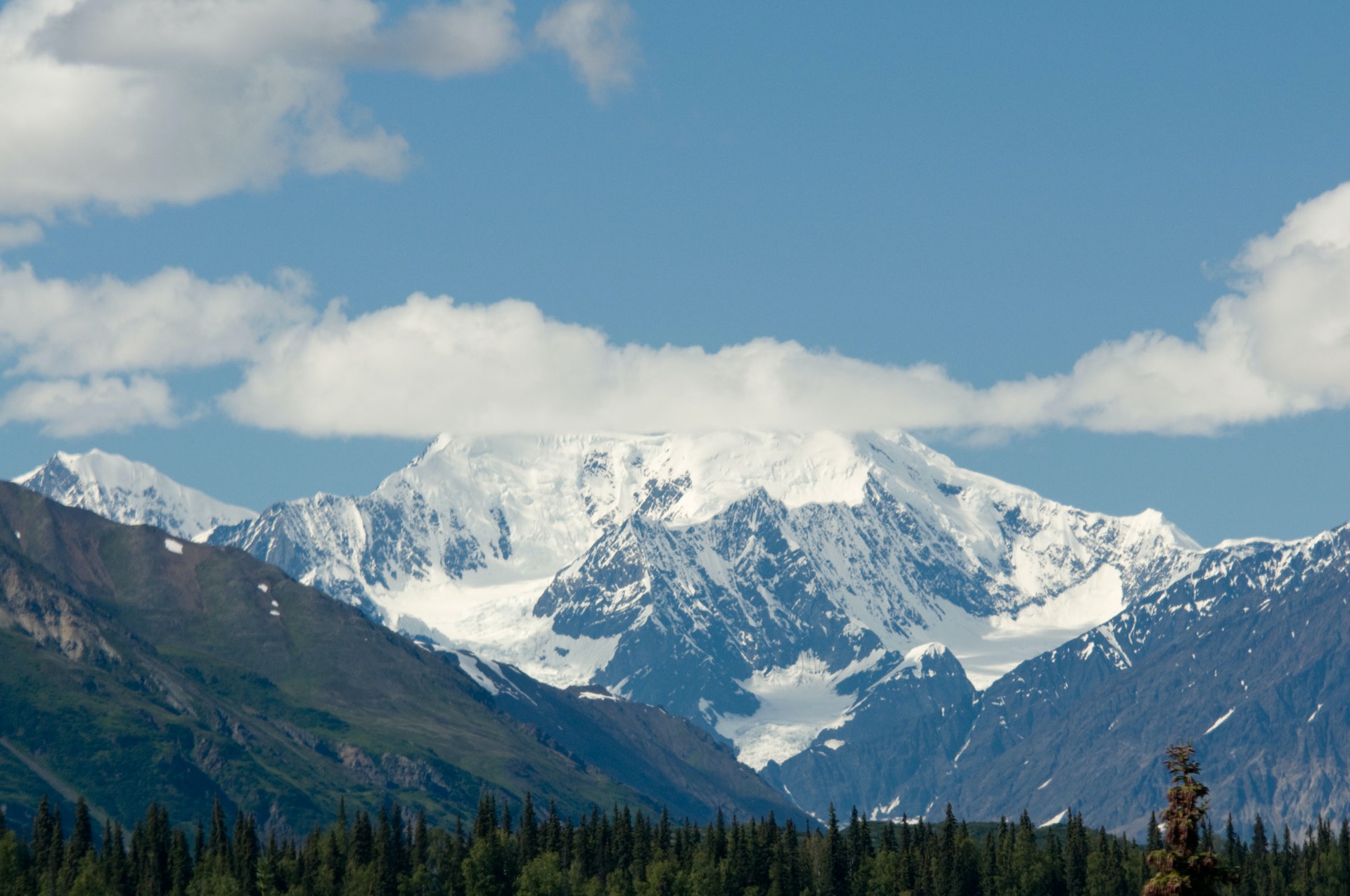
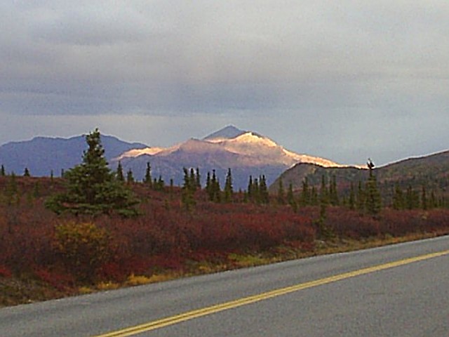
Mt. McKinley from Viewpoint South The park is about 100 air miles north of Anchorage and is divided roughly in half by the George Parks Highway, the major road link between Anchorage and Fairbanks. Situated between the Talkeetna Mountains to the east and the Alaska Range to the west, the landscape varies from meandering lowland streams to alpine tundra. Dominating this diverse terrain are Curry and Kesugi Ridges, a 35 mile-long north/south alpine ridge, the backbone of the eastern half of the park.
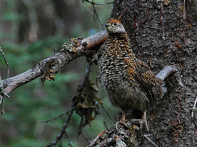
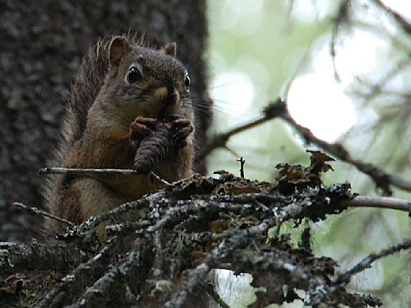
From the alpine tundra of Curry Ridge to the river bottoms of the meandering Tokositna River, the park?s varied landscape is home to a diverse array of wildlife. Moose, as well as grizzly and black bears, are found throughout the park. Though seldom seen, the wolf frequents much of the park, and caribou occasionally reach the park?s northern end. Smaller, elusive residents include lynx, coyote, red fox, snowshoe hare, land otter, and flying and red squirrel. The weasel family is well represented by ermine, marten, mink and wolverine. Wet areas are habitat for muskrat and beaver, while pika and marmot may be found in rocky areas above timberline. Porcupine will be glad to browse through your food box for salt. Several species of vole and shrew make their minute paths throughout the park.
"Kesugi" is a Tanaina Indian dialect word meaning "The Ancient One" and is a fitting complement of the Tanana Indian word "Denali" which means "The High One". Denali is the original name for Mt. McKinley. At 20,320 feet, Mt. McKinley is North America?s highest peak. It literally and figuratively towers over Southcentral Alaska from its base in Denali National Park.
Denali State Park was established in 1970 and expanded to its present size in 1976. Its western boundary is shared with its much larger neighbor, Denali National Park and Preserve, formerly Mt. McKinley National Park.
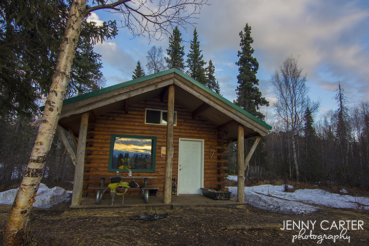
Maximum stay in one of the public use cabins is 5 consecutive nights. Each cabin has a wood heating stove, bunks, tables, and benches. In the summer, water is supplied by the campground pump or purifying lake water; in the winter, renters must bring their own, or purify lake water or snow. In winter make sure the chimney is free of snow before starting a fire. If you would like to bring in a small generator, Byers Lake Cabin #3 is wired for electricity. Please bring spare lightbulbs. Firewood is not provided at most cabins. Either bring your own, or arrive at the cabin with enough daylight to find firewood. Wood must be dead and down.
Byers Lake Cabin #1 (12' X 16') Sleeps 6 (maximum 6) with a maximum stay of 5 consecutive nights. Summer access: gravel road for one mile from highway. Winter access: Park at the Alaska Veteran's Memorial, milepost 147.1, Parks Highway, and follow the marked winter trail with snow vehicle, skis, dog sled, or on foot. At the bottom of the hill near the lake, take the left hand fork - total distance is one mile. This hand-crafted, sod-roofed log cabin is a true example of a traditional Alaskan bush cabin.
Byers Lake Cabin #2 (12' X 16') Sleeps 6 (maximum 6) with a maximum stay of 5 consecutive nights. Summer access: one-half mile walk from gate in the campground, or canoe one-half mile from boat launch. Winter access: Park at the Alaska Veteran's Memorial, milepost 147.1, Parks Highway, and follow the marked winter trail with snow vehicle, skis, dog sled, or on foot. At the bottom of the hill near the lake, take the right hand fork - total distance is 1.7 mile.
Byers Lake Cabin #3 (14' X 20') Sleeps 6 (maximum 6) with a maximum stay of 5 consecutive nights. Summer access: one-half mile walk from gate in the campground, or canoe one-half mile from boat launch. Winter access: Park at the Alaska Veteran's Memorial, milepost 147.1, Parks Highway, and follow the marked winter trail with snow vehicle, skis, dog sled, or on foot. At the bottom of the hill near the lake, take the right hand fork. The Cabin is about 70 yd's. south from public cabin #2.
Byers Lake Campground
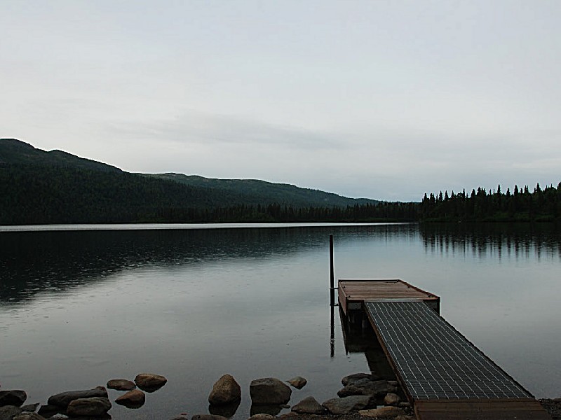
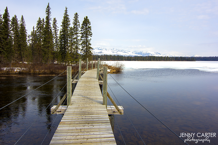
This quiet, family campground is nestled on Byers Lake at the foot of Kesugi Ridge. The area offers spectacular views of Mt. McKinley. It is located 147 miles north of Anchorage and 90 miles from the National Park Service entrance. Burbot, Lake and Rainbow Trout fishing. Byers Lake has four Public Use Cabins for nightly rental.
Also available at Byers Lake Campground is the sale of firewood: see the Campground Host. Canoe and kayak rentals are available on location from Denali Southside River Guides, call 733-7238 for information.Byers Lake is closed to boats with gasoline operated motors and aircraft to insure the tranquility of the area.
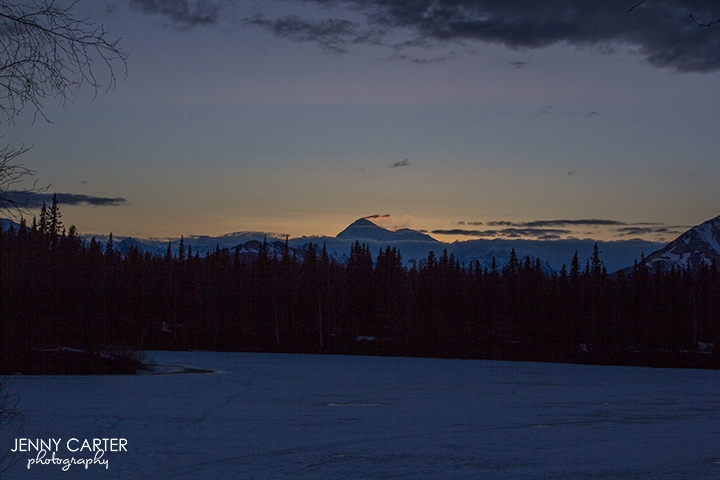
Denali Viewpoint North Campground
Denali Viewpoint North Campground is located within the Denali State Park. Denali State Park is an integral part of one of North America's most spectacularly beautiful regions. The park's 325,240 acres, almost one-half the size of Rhode Island, provide the visitor with a great variety of recreational opportunities, ranging from roadside camping to wilderness exploration.
The park is about 100 air miles north of Anchorage and is divided roughly in half by the George Parks Highway, the major road link between Anchorage and Fairbanks. Situated between the Talkeetna Mountains to the east and the Alaska Range to the west, the landscape varies from meandering lowland streams to alpine tundra. Dominating this diverse terrain are Curry and Kesugi Ridges, a 35 mile long north-south alpine ridge, the backbone of the eastern half of the park.
Denali State Park was established in 1970 and expanded to its present size in 1976. Its western boundary is shared with its much larger neighbor, Denali National Park and Preserve, formerly Mt. McKinley National Park.
Denali Viewpoint South
Denali Viewpoint South is located within the Denali State Park. Denali State Park is an integral part of one of North America's most spectacularly beautiful regions. The park's 325,240 acres, almost one-half the size of Rhode Island, provide the visitor with a great variety of recreational opportunities, ranging from roadside camping to wilderness exploration.
The park is about 100 air miles north of Anchorage and is divided roughly in half by the George Parks Highway, the major road link between Anchorage and Fairbanks. Situated between the Talkeetna Mountains to the east and the Alaska Range to the west, the landscape varies from meandering lowland streams to alpine tundra. Dominating this diverse terrain are Curry and Kesugi Ridges, a 35 mile long north-south alpine ridge, the backbone of the eastern half of the park.
Denali State Park was established in 1970 and expanded to its present size in 1976. Its western boundary is shared with its much larger neighbor, Denali National Park and Preserve, formerly Mt. McKinley National Park.
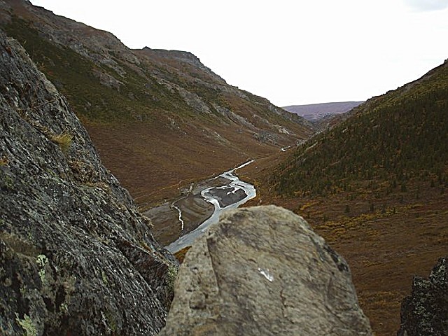
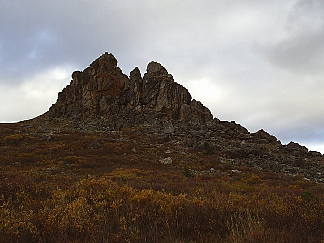
Lower Troublesome Creek Campground
One of the focuses of the park is to provide hiking opportunities. These vary from the regularly maintained trail around Byers Lake to back country routes like the trail along Troublesome Creek that receive very little maintenance attention. Hikers must be familiar with map reading skills to stay on route. Hikers seeking the best access to country above timberline are advised to begin at Little Coal Creek Trail head.


 Share Your Denali State Park Photos (click here)
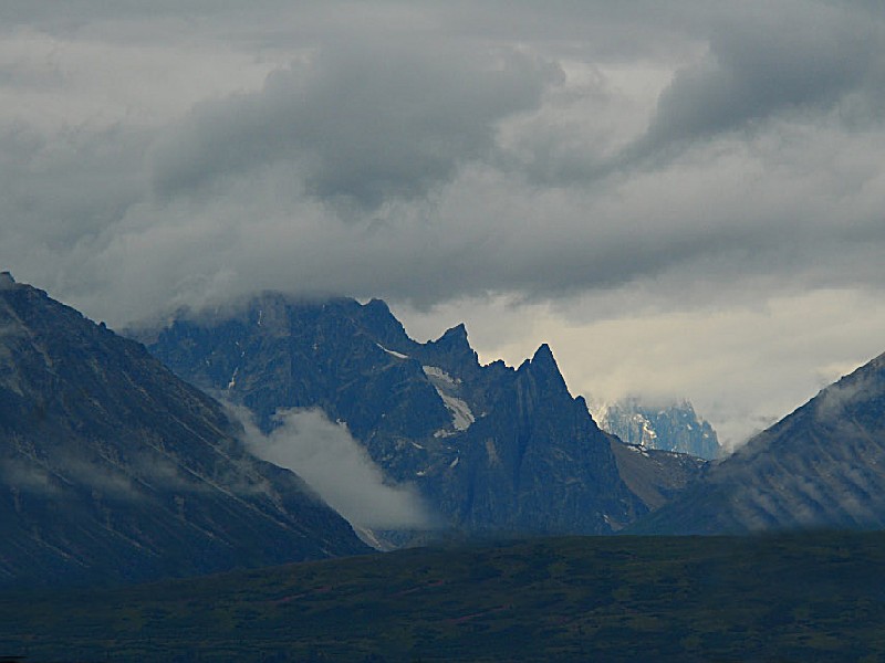