COLUMBIA PLATEAU TRAIL STATE PARK
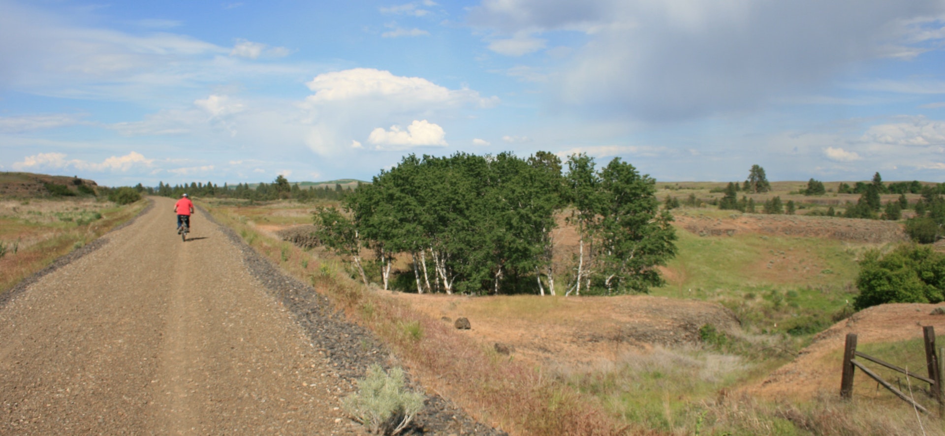
Columbia Plateau Trail State Park is a 3876-acre, 130-mile-long rail-bed trail that traces the 1908 original path of the Spokane, Portland and Seattle Railroad. The route is most accessible at Cheney, with other less accessible points along the way. The route is steeped in history, re-told at interpretive kiosks on the trail. Scenic vistas reward the visitor who undertakes this sometimes challenging hike. Currently 23 miles of the trail between Lincoln County and Cheney are developed and open for public use. Activities include hiking, bicycling, horseback riding, in-line skating, nature viewing, bird watching, cross-country skiing and snowshoeing. Wildlife viewing is a very popular attraction along the Columbia Plateau Trail as it passes 4.75 miles through the Turnbull National Wildlife Refuge. Many large animals can be seen such as deer, elk and moose. More than 200 species of birds have been identified, and the area is famed for the visiting trumpeter swans. The best times for wildlife viewing is early morning and evening. Spring migration occurs from mid-March through mid-May, while fall migration is from September through November. While enjoying your trek through the refuge, you can read from several interpretive panels on topics such as wildlife, the Ice Age Floods and wetlands. The trail is open to hikers, bicyclers, and, in the near future, equestrians.
About 15 million years ago, huge outpourings of basaltic lava buried the Eastern Washington landscape under a sea of lava. Much later, during the Ice Age, some of the largest documented floods to ever occur raced across Eastern Washington, carving out a landscape of basalt buttes, basins and canyons. A volume of water comparable to some of today's Great Lakes was unleashed when an ice dam in northern Idaho burst. Dozens, perhaps hundreds of flood events eroded the lava surface into the unique landscape known as the Channeled Scabland. Trail visitors will see stark reminders of one of the world's largest volcanic fields eroded by the cataclysmic Ice Age Floods.
In the early 1900s, the Spokane, Portland and Seattle Railway Company constructed a rail bed in the area. The company, which never actually connected the line from Portland to Seattle, operated the steam, and later diesel, railway for more than 50 years. It was said that the owner, James Hill, promoted the railway as a Seattle connection only to mislead competing railroad developers. The Burlington Northern Company operated the rail line for many years after, until the company abandoned it in 1987. State Parks acquired the land in 1991. Remains of reservoirs, reservoir flumes and homes of former railroad employees and other developments also are apparent along sections of the trail. The trestle over Burr Canyon, built in 1908, is listed as a state and national historic landmark.
A Discover Pass is required for vehicle access to Washington state parks for day use. For more information about the Discover Pass and exemptions, please visit the
Discover Pass web page.


 Share Your Columbia Plateau Trail State Park Photos (click here)
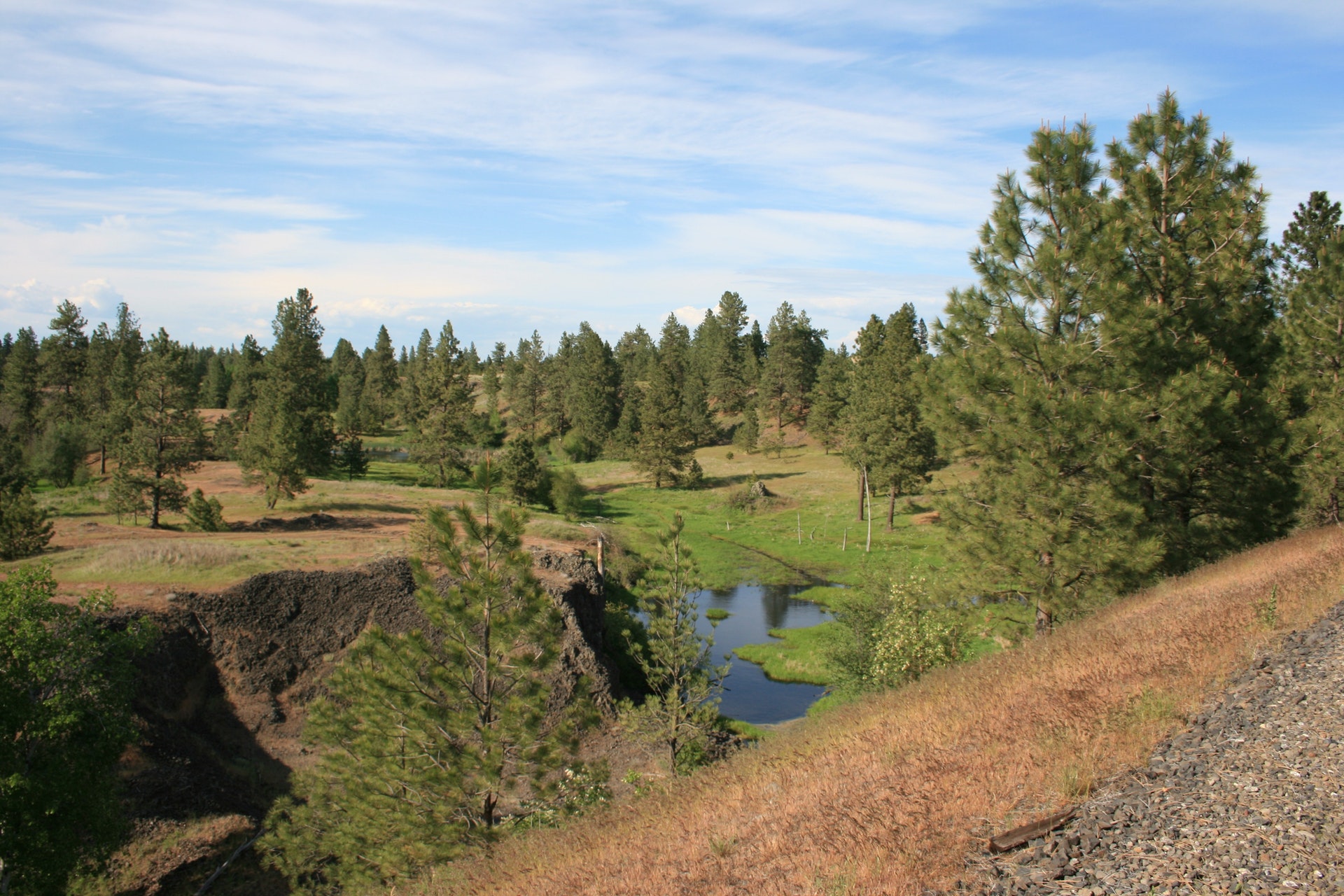