BURTON CREEK STATE PARK
A pleasant forest walk with minimal elevation gain in Burton Creek State Park, this delightful morning or afternoon excursion should be a crowd pleaser. But there?s no prominent signage, so the slightly obscure locale remains relatively undiscovered, promising an uncrowded and serene hiking experience. Numerous side trails come and go along this route, providing an array of options for trip extensions and alternate starting points. Make sure you pack a map, as the intersecting trails and roads can be quite confusing at times.
Burton Creek State Park is located near Reno, Truckee
Burton Creek State Park offers serene picnicking spots amidst 2,000 acres of forest with views of the Sierra Nevada.
Burton Creek Trail
2 to 8 miles round tripLake Tahoe?s secret state park is Burton Creek, more than 2,000 acres of forest and meadowland, located just across the highway from the tiny, but well-known lakeshore campground at Tahoe State Recreation Area. (The Tahoe SRA entry kiosk is a good place to ask questions about Burton Creek.)
The park has a great deal of potential to become a favorite of trail users? cross-country skiers, mountain bicyclists, hikers?as soon as access problems are resolved and some signs are erected.
Bisecting the park, from its northwest to its southwest corners, is Burton Creek. The creek has been dammed, but two natural preserves have been established in the creek corridor. Above the dam is Antone Meadows Natural Preserve; from the dam to the highway is Burton Creek Natural Preserve.
The park is completely undeveloped except for some six miles of dirt roads. Chief users of the trail system are cross-country skiers. During the winter, Tahoe Nordic Center grooms the park trails. (To reach the center, take Village Road off Highway 28.)
The hiking is strictly improvisational; wander the dirt roads for as long or short a hike as you please. Numbers posted at road junctions aid your navigation of the tangle of roads. Keep track of those numbers!
A section of the new Tahoe Rim Trail leads through the western part of the park. Best walking is along Burton Creek and through the surrounding meadows.
Directions to trailhead: The park has two entrances from Tahoe City. The Bunker Drive entrance has parking; the Tamarack Lodge entrance presents both access and parking difficulties.
The park is located on the northeast side of Tahoe City.Latitude/Longitude: 39.1950 / -120.1417


 Share Your Burton Creek State Park Photos (click here)
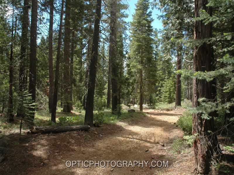