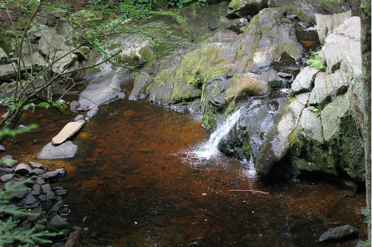
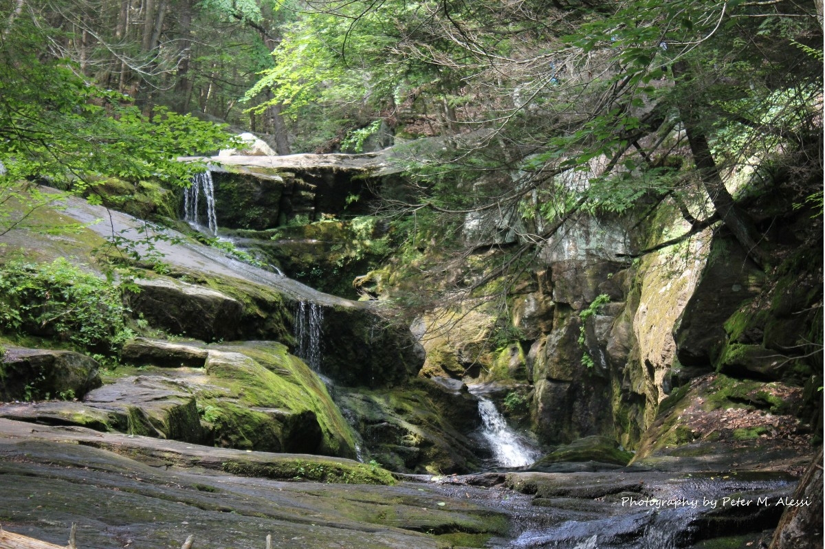
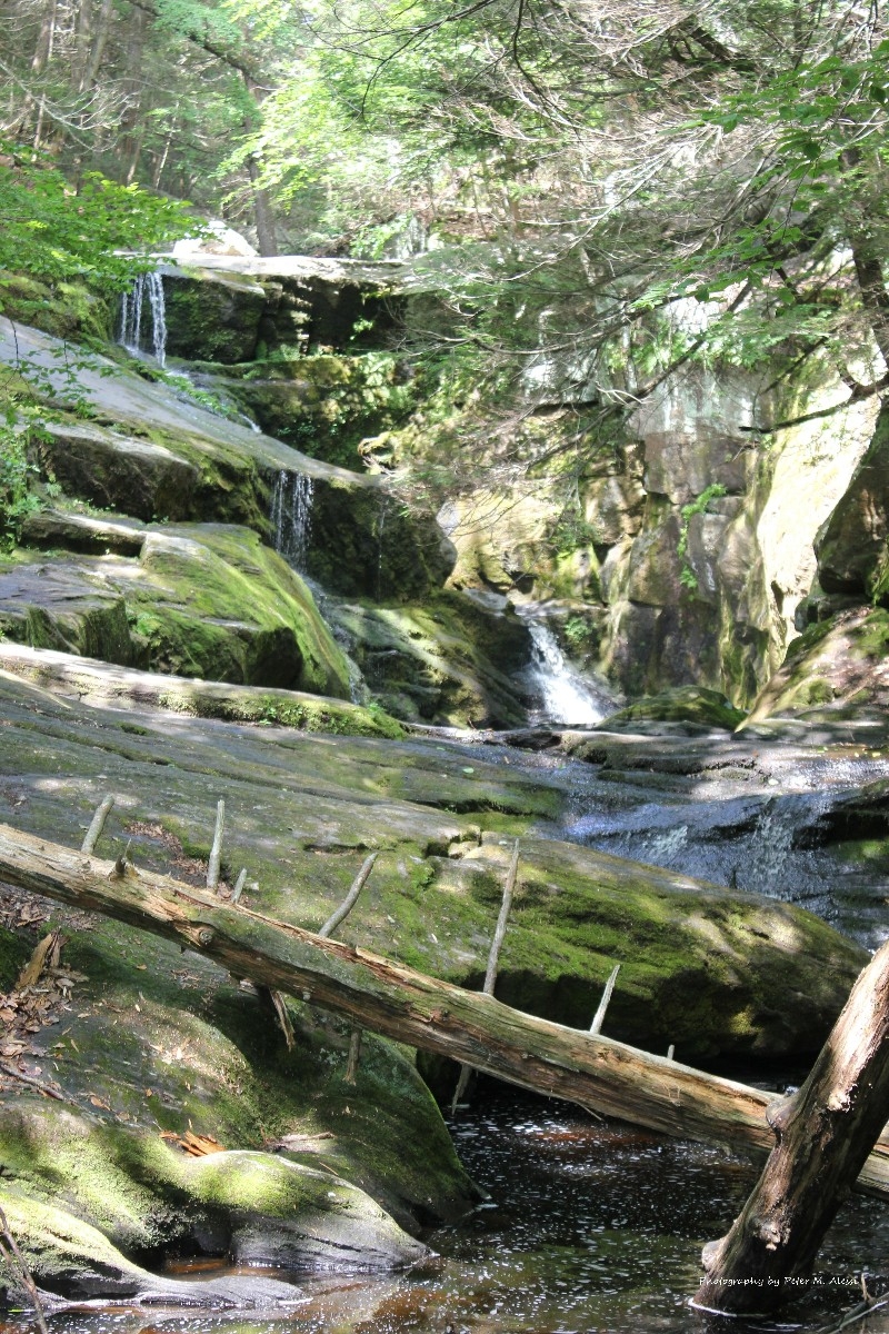
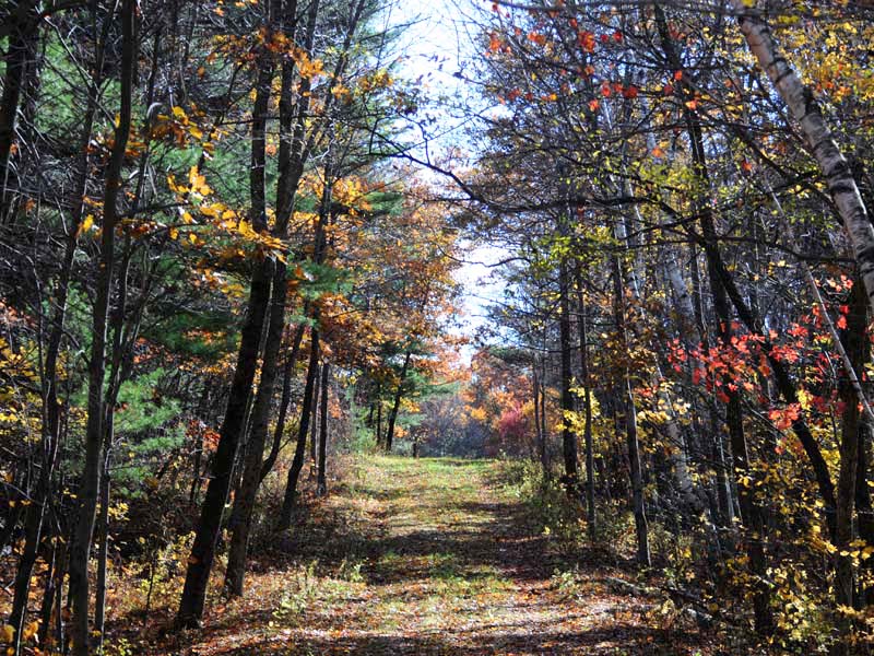
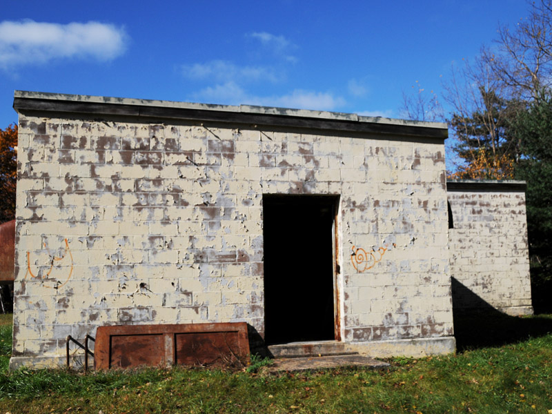
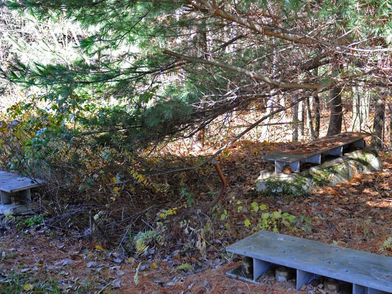
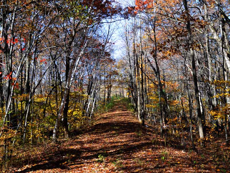
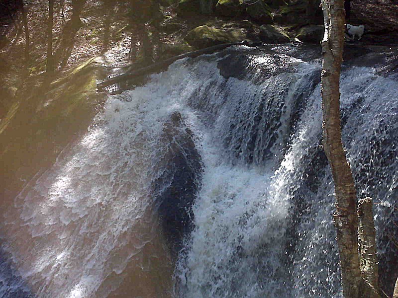
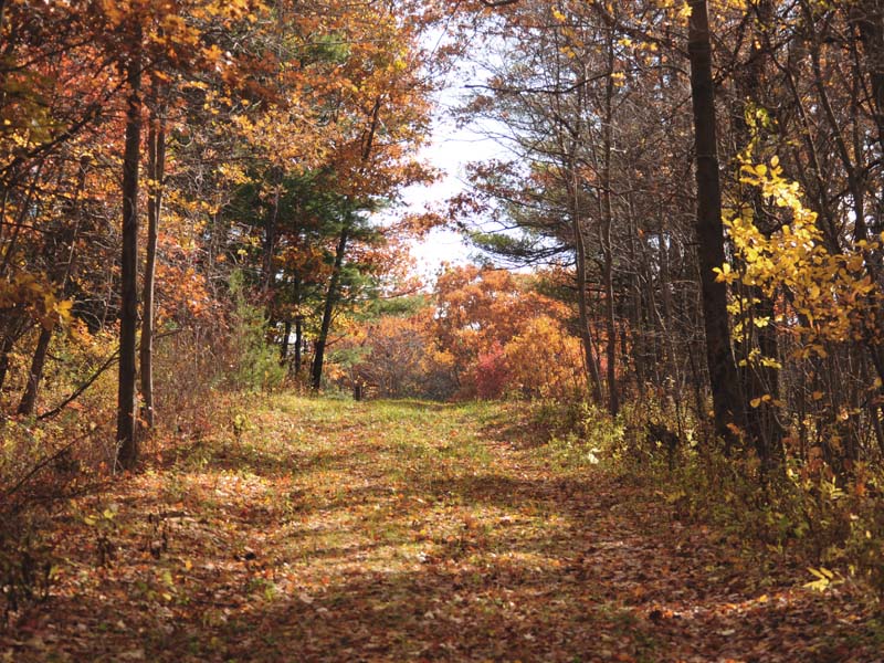
Above All State Park is an undeveloped public recreation area located in the town of Warren, Connecticut. The only park amenities are informal trails not maintained.
Location
Above All State Park is located near Naugatuck, New Fairfield and New Milford
I visited Gillette Castle to find flower beds & pots all gone to weeds. Viewing the plants in the solarium looked stressed & brown. The Castle was closed due to budget restraints, yet the air conditioning was running. The gift shop & food court were open, why? There were only 3 cars in the parking lot. The wall to the pond is falling into itself. It would be better to close the park, than make it an embarrassment. People do travel from all over to find this.
September 16Go for the human, not natural history
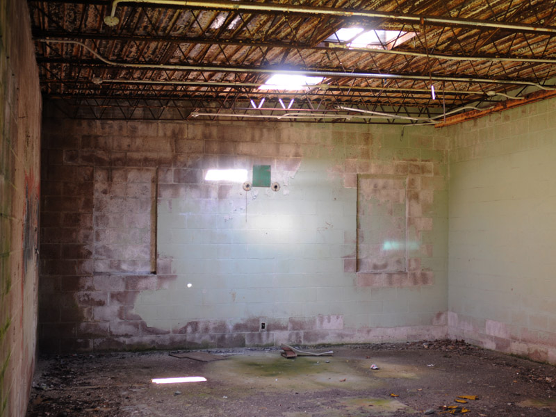
Fascinating history as a Cold War military site, with a few pieces of decaying equipment. If you visit at just the right time of summer, you may see lots of salamanders.


 Share Your Above All State Park Photos (click here)
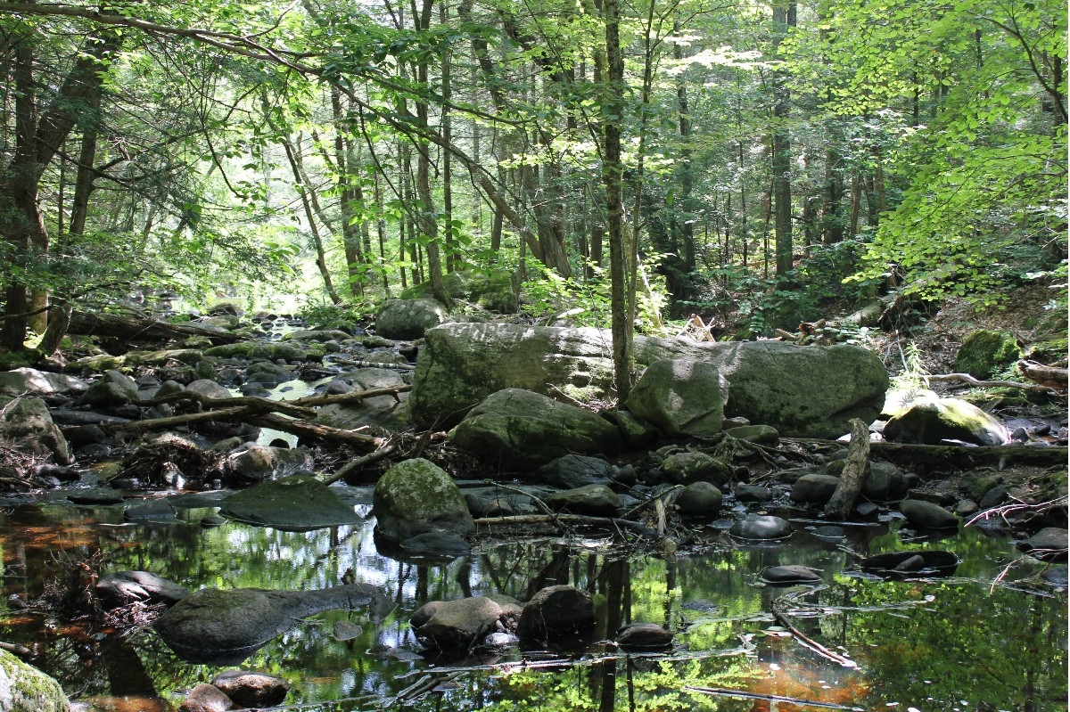